
CDR Salamander considers the use of maps — appropriate maps — to be critical for both military and civilian strategists. And the most common kind of map most people encounter is one of the worst, because it conceals more than it reveals:
If I am ever invited into someone’s personal study, office, or library — especially someone who puts themselves forward as a national security type — one of the things I not-so-subtly look for is maps, charts, or better yet, a globe.
Yes, I will judge you. It matters.
I have seen exceptionally credentialed and powerful uniformed and civilian leadership here and in Europe have an almost comical ignorance of the world in which they hold access to levers of almost unimaginable power. From a complete disinterest bordering on criminal unawareness of the bottom topography of the Baltic and Taiwan Strait, to not knowing where the Cape of Good Hope is, or even what a Great Circle Route is.
That kind of ignorance gets people killed.
They got their positions of power and influence for a whole host of reasons, but an understanding of geography and the ability to read a map was probably not one of them.
[…]
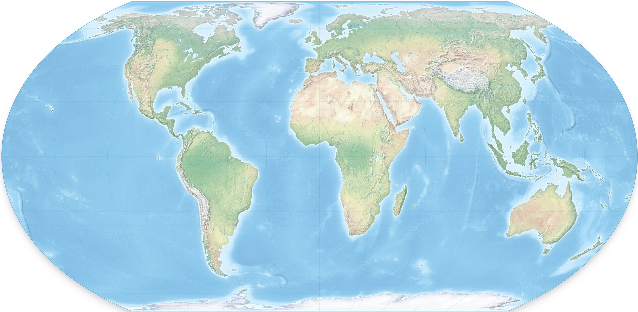
If someone says, “When you look at a map of the world …”, more likely than not, what will pop into your mind will be what is at the top of the post, the Mercator Projection.
That may be one of the contributing factors to inadequate strategic thinking in the modern age.
Of course, any attempt to represent a three-dimensional object on a two-dimensional format is going to create some problems.
You need multiple perspectives, and often the one that best serves in helping you understand the challenge of the moment.
As we continue to argue the point here, we don’t need a new force design, or national strategy, we need a national understanding.
We need to understand the fact we are a maritime and aerospace power, and those are the two domains where the majority of fighting in any war against the People’s Republic of China is going to take place.
It has a unique set of challenges that have nothing to do with politics, people, culture or anything from man; it has to do with the interface of land, water, time, and distance.
As we learned and then forgot from WWII, any war in the far reaches of the Pacific requires range, scale, and the logistics system that appreciates both and can sustain the fight forward.
[…]
What are the top-5 even the novice should get?
- AUKUS is a must-succeed. Don’t balk. Don’t stutter. Don’t be difficult. Make it work. It reinforces our left flank. Australia and the Philippines are our shield and redoubt.
- Taiwan is the stopper that keeps the PRC relatively contained. If you lose that, Guam is your new front line.
- A strong Japan and South Korea must be made stronger and closer. They are our right flank.
- What does the PRC want? Once you accept that they want everything from the line drawn from Alaska to New Zealand to their coast under their uncontested control, but are more than happy to let us have everything on the other side, then you understand what they have been doing for decades in the small island nations in the Southwest Pacific.
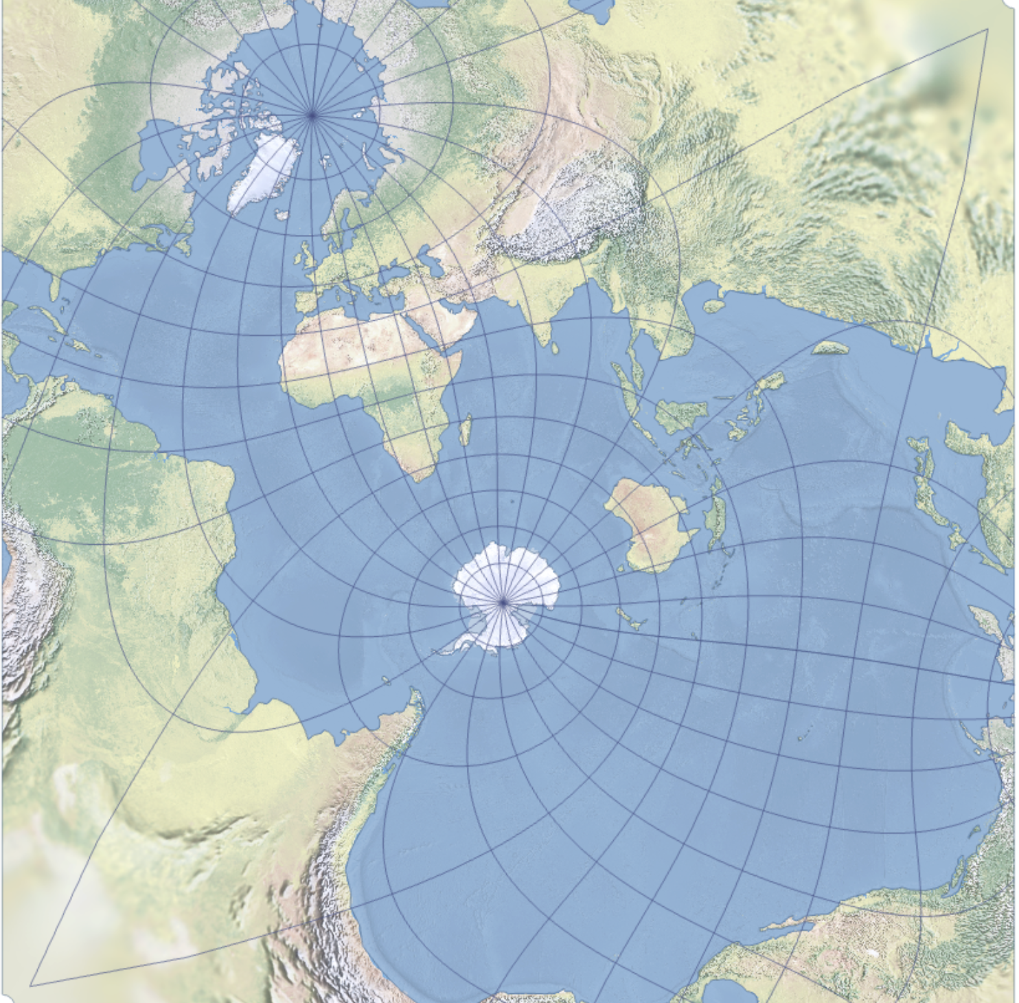
- People grow up with maps that emphasize Europe and the North Atlantic. This projection breaks that mental fixation, putting Europe and the North Atlantic in a minor corner of the map, almost an afterthought that barely catches the eye.
A slightly more recognizable version [of the Spilhaus Projection] is below.


Ensign Mudpuppy (both above, and in his Substack article) says Mercator projections are the problem. Not persuaded, because he’s got an Eckert IV projection up there as an example, which bears no resemblance at all to a Mercator cylindrical projection (pro tip: a Mercator world map is a rectangle, got four square corners…see?)
https://map-projections.net/compare.php?p1=eckert-4&p2=mercator-84&sps=1
Gerry M’s cylindrical projection takes a lot of abuse because it does what a navigational map needs to do, and does it better than any other projection: it plots bearings that accurately represent direction on the ground.
Everything else is subordinate to that: maps are for moving, not for didactics. His projection-objection is no different from trendy nonsense about how “the Mercator projection teaches Eurocentrism and white supremacy because Greenland is soooo huuuuge bla bla bla…”
Well, okay, it differs in one way. He doesn’t seem to know what a Mercator projection looks like (see pro tip above; watch out for lookalikes like the Miller).
I’m a Fullbore Friday fan and have a lot of respect for the mudpuppy’s opinions, but he ought to have known better.
Comment by Jim Whyte — June 24, 2026 @ 08:58
I’ve been reading his stuff off-and-on for many years, but I somehow hadn’t encountered that nickname. Thanks for the laugh.
Comment by Nicholas — June 24, 2026 @ 09:52
No wonder you hadn’t heard it; a poor thing, but mine own.
Comment by Jim Whyte — June 25, 2026 @ 09:41