For Canada Day, Maclean’s tries portraying the country in various different ways:
Happy Canada Day! For a different perspective on the country this year, Maclean’s went to the maps. Drawing on a variety of sources, from government statistics to various online databases to tweets, here are some maps to illustrate Canada as you’ve never seen it before.
[…]
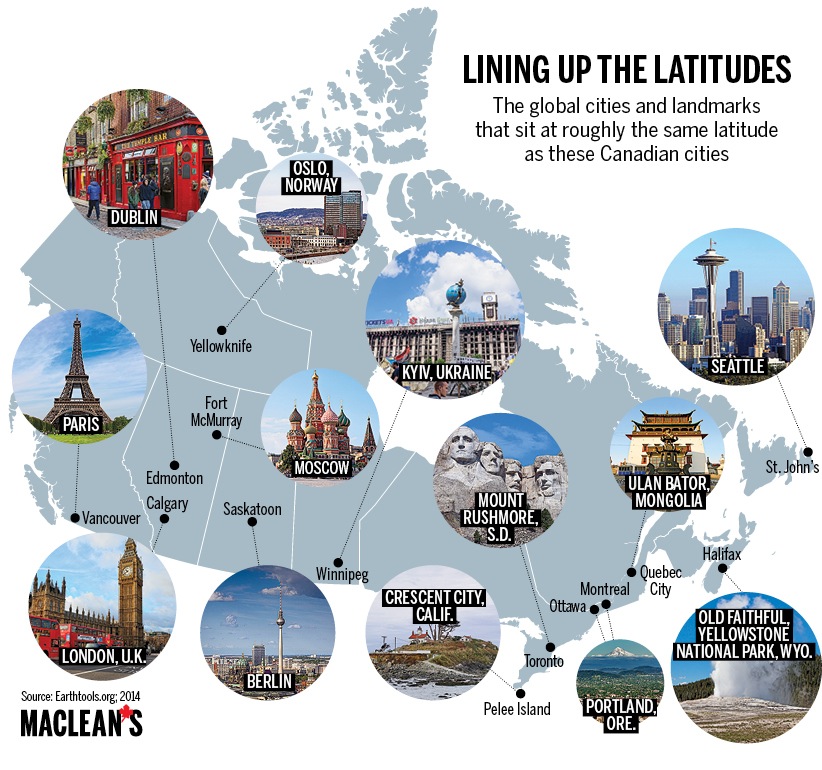
It’s always a surprise when people first learn that the very tip of southwestern Ontario is at a lower latitude than parts of California — which got us wondering: How do other parts of the country line up with the rest of the world? Here are the results, using Earthtools.org. Most of the cities on this map, and their global counterparts, lie within less than 50 km of each other, latitudinally speaking, of course. Only Quebec-Ulan Bator and Fort McMurray-Moscow are a full degree apart.
[…]
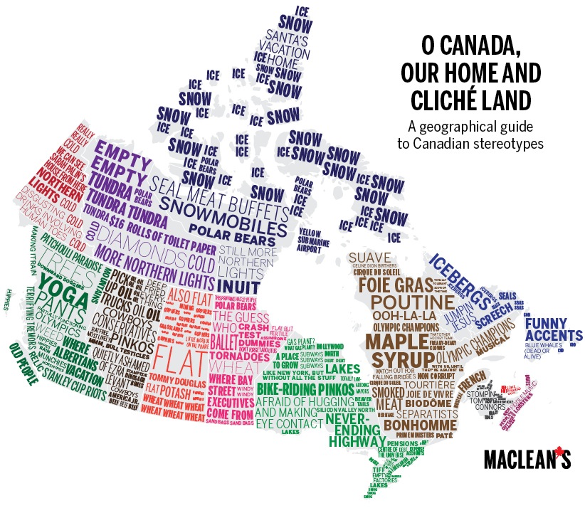
What to say? Canada is a land of contrasts. It also offers up a bounty of clichés.


